A map of maps @ Harvard
2024
Medium
Photos and interactive software
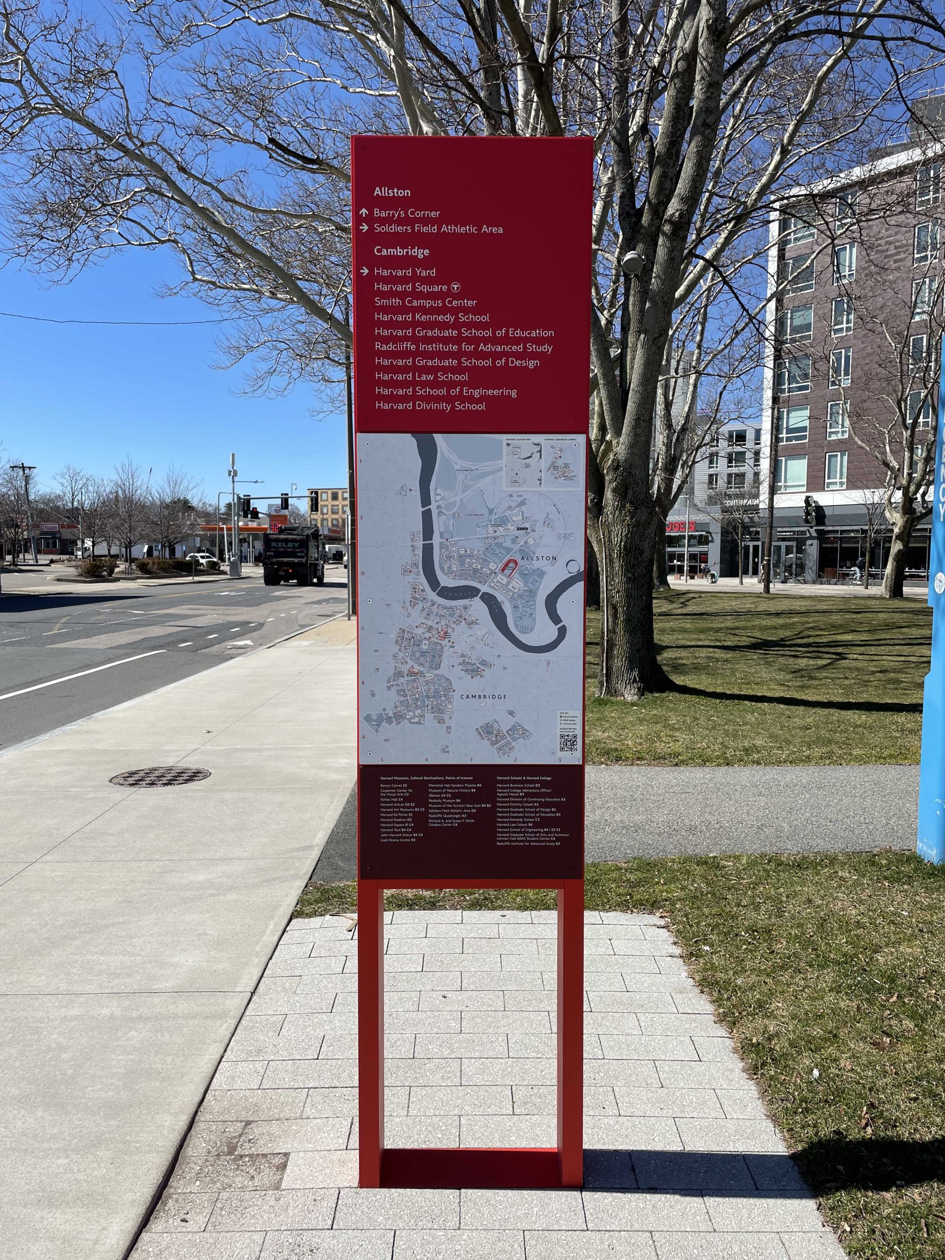
Harvard University’s recent expansion into Allston has brought forth an array of sleek red directional markers adorned with maps that serve as both guides and symbols of the institution’s reach. Intrigued by their ubiquity and significance, I embarked on a multi-day project during spring break to document over 100 of these markers across Harvard-owned or affiliated premises spanning the Cambridge, Allston, and Longwood campuses.
This collection, meticulously cataloged with location details, appearance, and design features, stands as a testament to Harvard’s manifold influence in the surrounding areas. Yet, beyond their utilitarian purpose, these markers embody a complex web of connections and divisions within the Harvard community and its urban landscape.
As viewers engage with this project, they are invited to contemplate the physical manifestation of institutional expansion and influence. The markers, with their varying designs and functionalities, offer insights into the diverse needs and priorities of different departments, schools, and facilities within the Harvard ecosystem. Moreover, they prompt reflection on the broader questions of urban planning, public navigation, and the role of institutions in shaping physical environments.
By examining these markers collectively, viewers are encouraged to ponder the intersections of architecture, geography, and institutional identity. The project sparks conversations about power dynamics, community interactions, and the concept of belonging within the Harvard community. Ultimately, it serves as a catalyst for critical inquiry and dialogue, inviting viewers to reconsider and reimagine the built environment in which they live and work.
Interactive demo
Drag to view different regions of the map. Click on a circle to see the map identified at that location. A card will pop up that shows more information, including photos taken onsite.